We use cookies to understand how the website is being used and to ensure you get the best possible experience.
By continuing to use this site, you consent to this policy.
About cookies
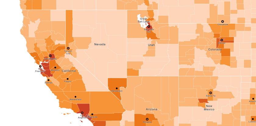
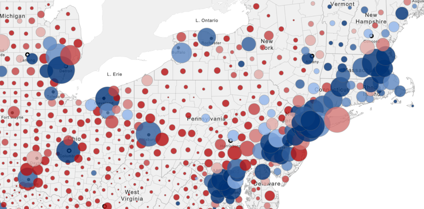
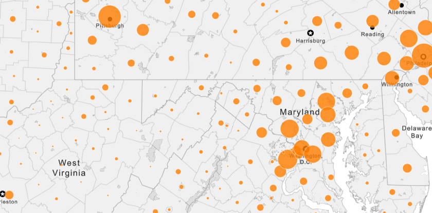
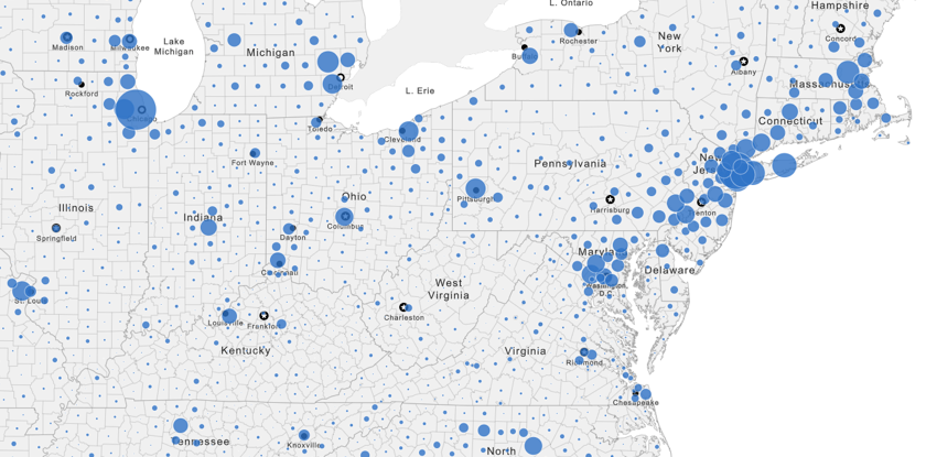
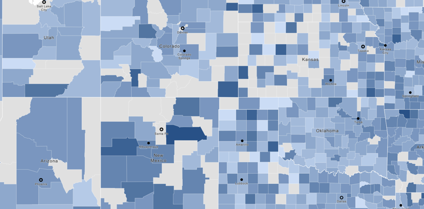
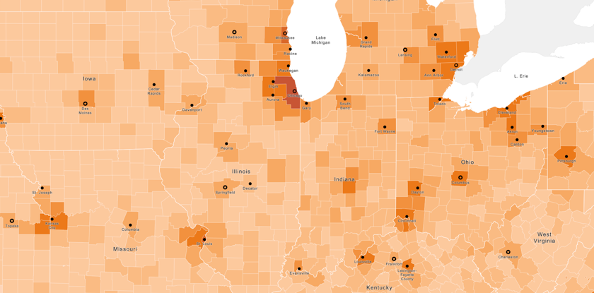
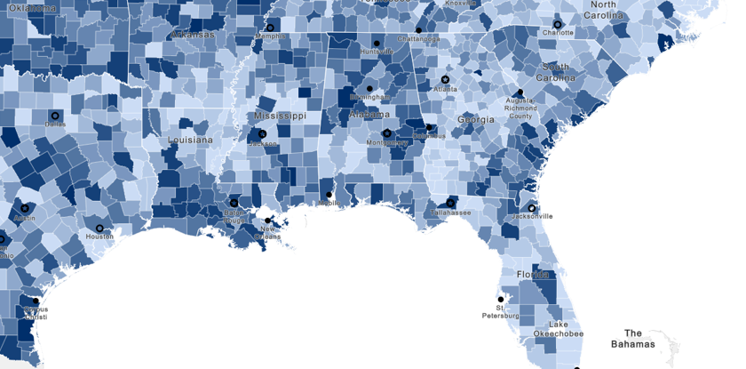
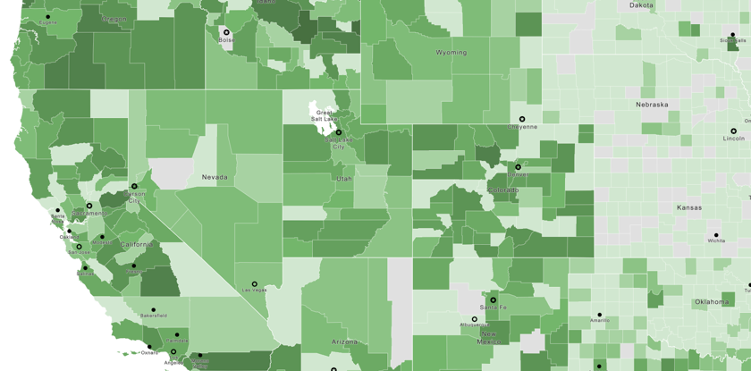
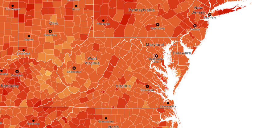
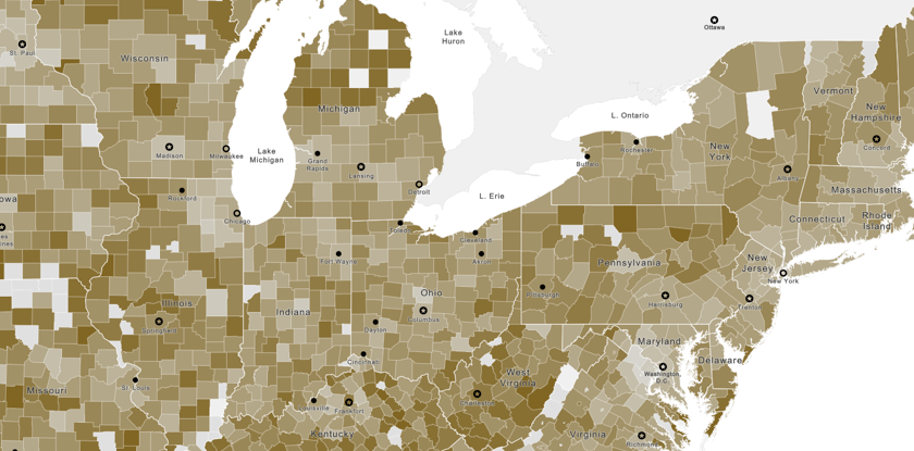
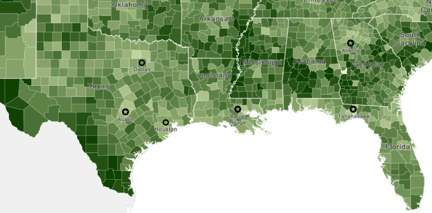
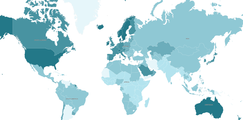
Social Explorer provides hundreds of thousands of data indicators across demography, economy, health, education, religion, crime and more. Examine this wealth of information at many geographic levels: national, state, county, ZIP, neighborhood and more. All data are curated, organized and processed for ease of use.